Locations
Kelly County
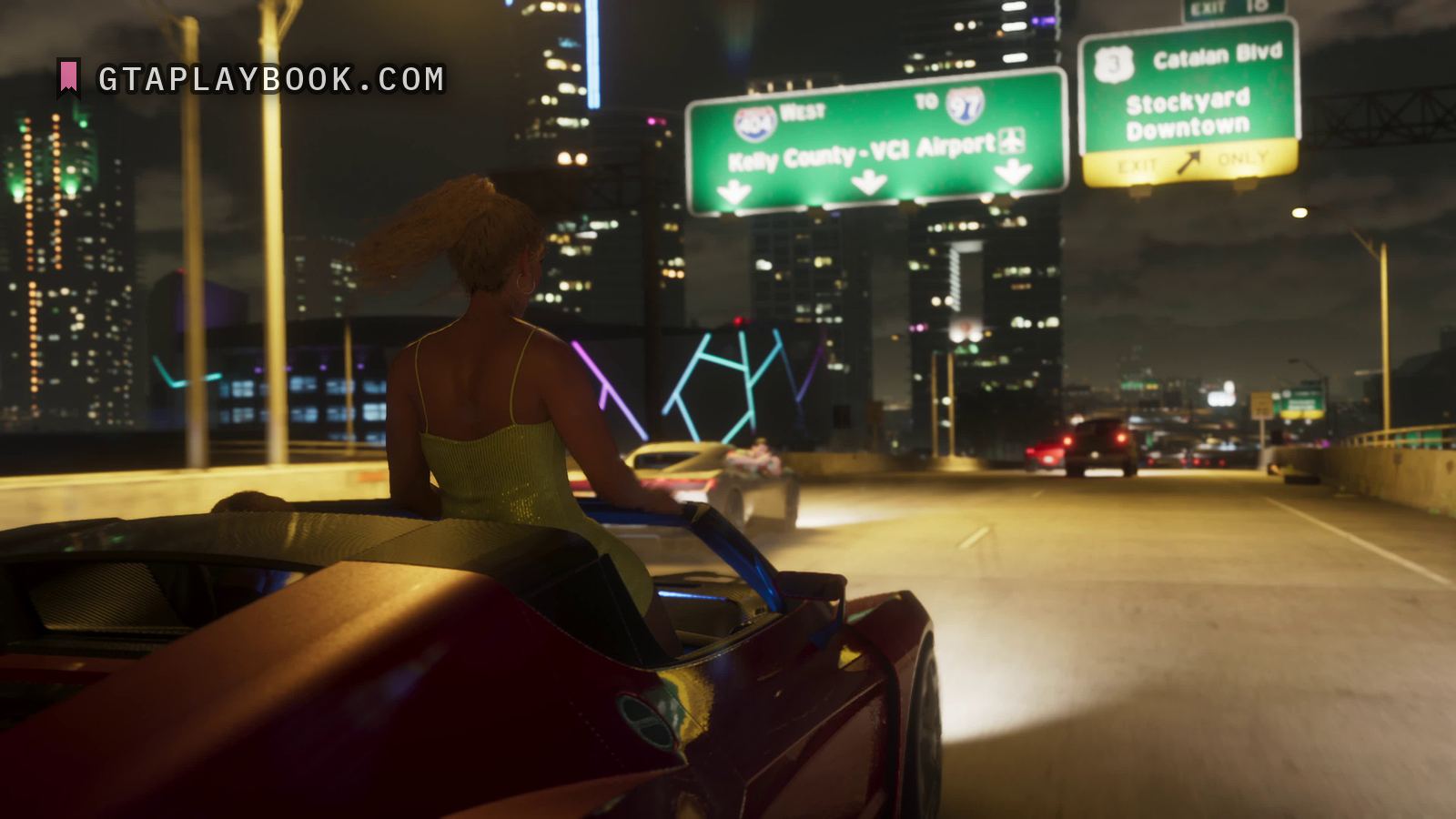
A gantry sign over the motorway at night: WEST beside a shield whose number will not resolve, TO 97 beside one that will, and Kelly County – VCI Airport on the line below.
Where it sits
Nowhere Rockstar has said. The counties are not on rockstargames.com, which describes six regions and no county. How Kelly County relates to those six regions is unknown; the map question sets out what does and does not exist.
The name appears in exactly one official frame, the gantry sign in Trailer 1 that also points to VCI Airport. The sign points west towards the county, and the readable shield on it is 97; the shield beside WEST is a second number we cannot read. So the frame is a road leading to Kelly County rather than a place inside it. For the same reason the exit sign for Stockyard Downtown in the same frame says nothing about what the county contains. No named place on this site can be put inside Kelly County yet.
What the frame shows
Interstate green with white lettering inside a white border, two route shields along the top and three downward arrows along the bottom edge, where lamps light the board from below. The right-hand shield reads 97, the nine and the seven each holding their own strokes. The left-hand one, beside WEST, is the same shape — red crown, blue field, white numerals — and three character shapes sit in it, but at full size they run together in the night blur and none of them comes apart.
The lower line reads Kelly County – VCI Airport, the two names joined by a short dash, with an aircraft symbol boxed at the end. VCI has the three letters of an airport code, and the initials fit Vice City International; nothing in this frame spells them out. The shields are the American Interstate kind, and the real Interstate 97 is a short road in Maryland, so the number borrows nothing from Florida.
Kelly County is the third county named across the images, after Vice-Dale and Ambrosia. The exit sign hanging beside this one in the same frame, for Stockyard Downtown, has a page of its own.
How to recognise it
- A green motorway sign on a gantry at night, lit from below
- Shield 97 after TO, and a shield beside WEST whose number does not resolve
- Kelly County – VCI Airport on the lower line, with a boxed aircraft symbol
- Three downward arrows along the bottom edge
The frame it comes from
The frame is Trailer 1 at 0:24.83. It is 3840 by 2160, and the subject occupies 1190 by 442 of it. Also in it: Stockyard Downtown and a rear deck of a dark red convertible.
How this was measured
| Source | Trailer 1, 0:24.83 |
|---|---|
| Frame | 3840 × 2160 |
| Crop | 1190 × 442 — a small part of the frame |
| Image check | 25 September 2026 — crop checked against the frame |
| Text check | 25 September 2026 — 24 claims read against the image, 1 corrected |
| Read at | the true pixel grid, 1:1 |
| Lettering | Letter height | Contrast | Reads |
|---|---|---|---|
| Kelly County – VCI Airport | 50 px | — | every character |
| WEST | 45 px | — | every character |
| TO | 40 px | — | every character |
| 97 | 55 px | — | every character |
| the number on the left-hand shield | — | — | no |
These figures come from the dataset, not from the prose above. We measure everything and claim what counts. How we work
What we still do not know
- What the left-hand shield says. Three character shapes, and the night blur closes them up; a reduced view suggests a number the full-size pixels do not carry
- Where Kelly County sits
- Whether VCI Airport is enterable and whether flights work
- How many numbered routes the map has
- Whether route 97 is the main artery
Also in these frames
Measured in the same frames as the images above, but without a page of their own. Same rule as everywhere else: what the crop carries, with the source and the timecode. The ones whose frame no page shows are collected in the frame.
More locations from the footage

Trailer 1 · snt-00034 · 1:04.57 · placeholder frame
Mega Noticias
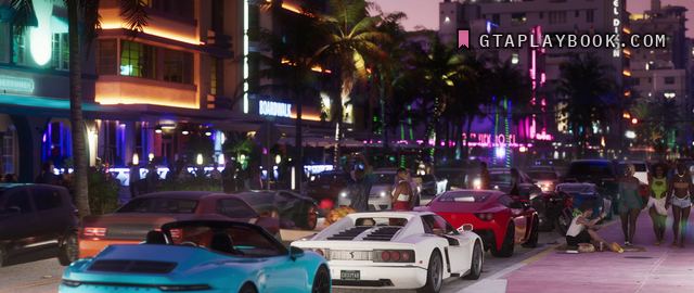
Trailer 1 · snt-00014 · 0:32.57 · usable frame
Ocean Drive
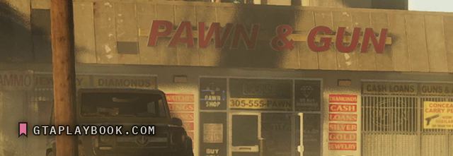
Trailer 1 · snt-00042 · 1:10.27 · placeholder frame
Pawn & Gun
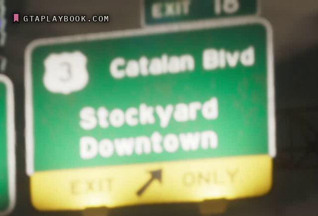
Trailer 1 · snt-00011 · 0:24.83 · placeholder frame
Stockyard Downtown
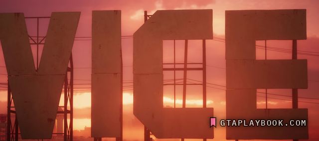
Trailer 1 · snt-00019 · 0:39.80 · usable frame
The VICE letters
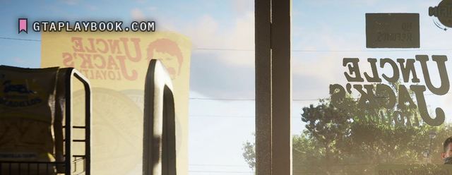
Trailer 1 · snt-00044 · 1:16.50 · usable frame
Uncle Jack’s