Gameplay
The minimap
The minimap is a rounded rectangle with a letter in a disc on its rim, a route drawn in pink and a distance in feet or, further out, in miles.
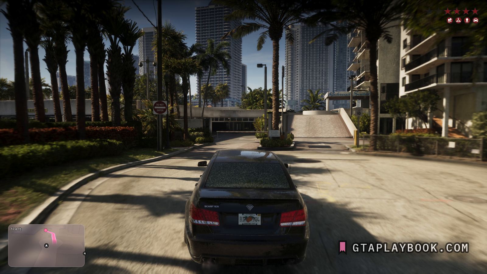
At 15:49.90 the bottom left corner carries the map, a rounded rectangle with soft edges. A pink line runs from the player marker, a white arrow in a dark disc, to a pink dot at the top. A figure at the top left reads 174 ft. A single letter in a black disc sits on the right-hand rim, where a compass mark sits; on the true pixel grid it is under this site’s letter floor, so the page does not read it. Until 23 September 2026 it did.
Distance in feet rather than metres is a small thing that says something: the game is using US units, which fits a state modelled on Florida. The route line itself follows the road round the block rather than cutting straight across to the marker, so the map is drawing a driving route and not a bearing.
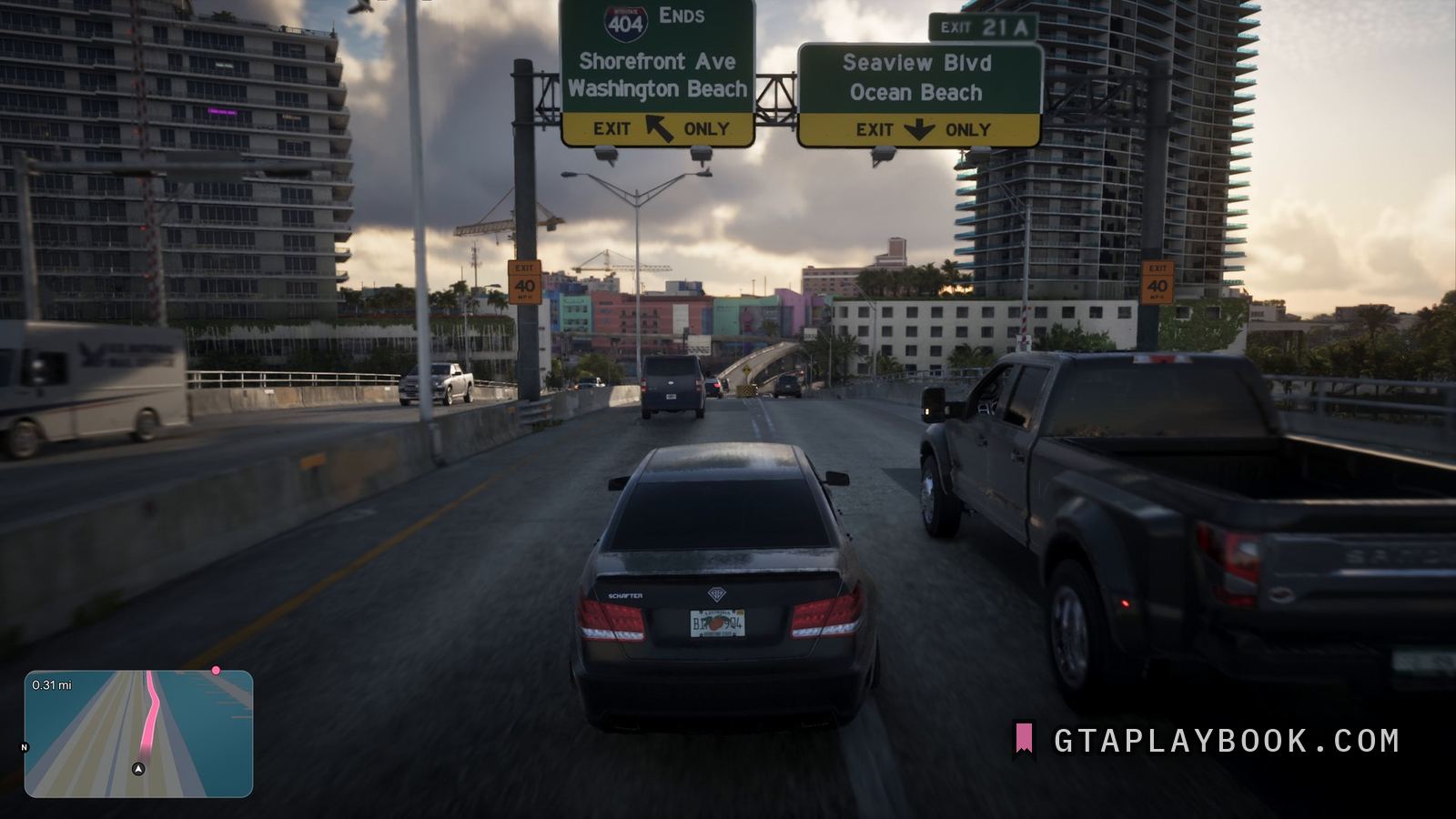
The Extended Look at 13:06 shows the other half of that convention. On a wide, multi-lane road the same map carries 0.31 mi at its top left: feet for a short hop, miles for a longer one. The route runs as a pink ribbon along the carriageway to a pink dot on the top edge, the player is the same arrow in a disc, and the letter in its disc sits on the left rim this time, too small here to read; at 15:49 it sat on the right. Above the road in the same frame hang two motorway boards, and the Vice City page reads them.
In the race frames the same map shows the circuit instead of streets, and the race HUD page carries those frames. Whether it washes red or blue under a wanted level, as the series has done since GTA IV, one still cannot settle: in the full frame at 15:49.90, which the Leonida page carries for its number plate, four wanted stars are lit in the top right corner, and this map shows its ordinary colours, but a single frame can fall between two flashes. Until 23 September 2026 this page stated the wash as fact.
How to recognise it
- A rounded rectangle, bottom left
- A single letter in a disc on the rim, under the letter floor, where a compass mark sits
- Route drawn as a pink line to a pink destination dot
- Distance shown in feet
- The player as a white arrow in a dark disc
- Miles as well as feet: 0.31 mi at 13:06
The frame it comes from
The frame is Extended Look at 15:49.90. It is 3840 by 2160, and the subject occupies 729 by 475 of it. Also in it: Redwood Suites, a car park entrance with a barrier, and Benefactor Schafter.
How this was measured
| Source | Extended Look, 15:49.90 |
|---|---|
| Frame | 3840 × 2160 |
| Crop | 729 × 475 — a small part of the frame |
| Image check | 24 September 2026 — crop checked against the frame |
| Text check | 26 September 2026 — 34 claims read against the image, 3 corrected |
| Read at | the true pixel grid, 1:1 |
| Lettering | Letter height | Contrast | Reads |
|---|---|---|---|
| 174 ft | 23 px | — | every character |
| the letter in the black disc on the right-hand rim | 16 px | — | no |
| 0.31 mi | 23 px | — | every character |
| the letter in a disc on the left rim | 16 px | — | no |
These figures come from the dataset, not from the prose above. We measure everything and claim what counts. How we work
What we still do not know
- Whether the shape and size can be changed in the HUD settings
- Whether distance can be switched to metric
- Whether the map washes red or blue under a wanted level, and what it does at higher levels
- Whether the pink is fixed or a waypoint colour you choose
Every frame we have
Also in these frames
Measured in the same frames as the images above, but without a page of their own. Same rule as everywhere else: what the crop carries, with the source and the timecode. The ones whose frame no page shows are collected in the frame.
More gameplay from the footage
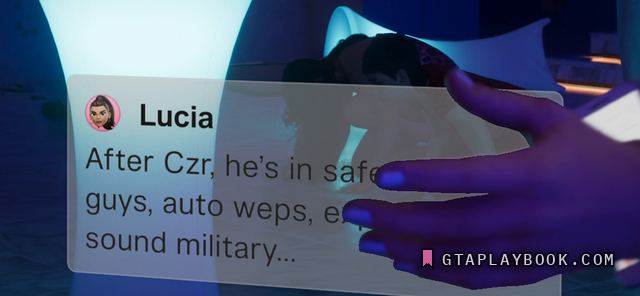
Extended Look · snt-00169 · ~23:57.77 · usable frame
The phone
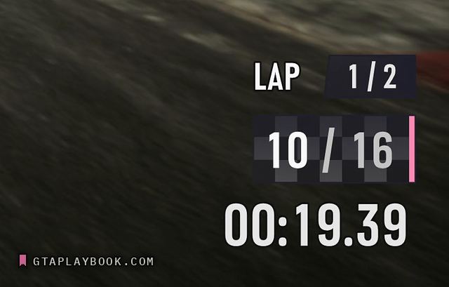
Extended Look · snt-00171 · ~17:43.05 · usable frame
The race HUD

Extended Look · snt-00287 · 14:00.07 · placeholder frame
The wanted system
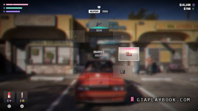
Extended Look · snt-00162 · ~17:50.60 · usable frame
The weapon wheel
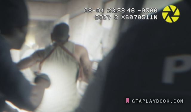
Trailer 1 · snt-00047 · 0:49.54 · usable frame
Bodycam footage
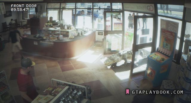
Trailer 1 · snt-00025 · 0:47.53 · usable frame
Security cameras