Locations
The underwater pilings
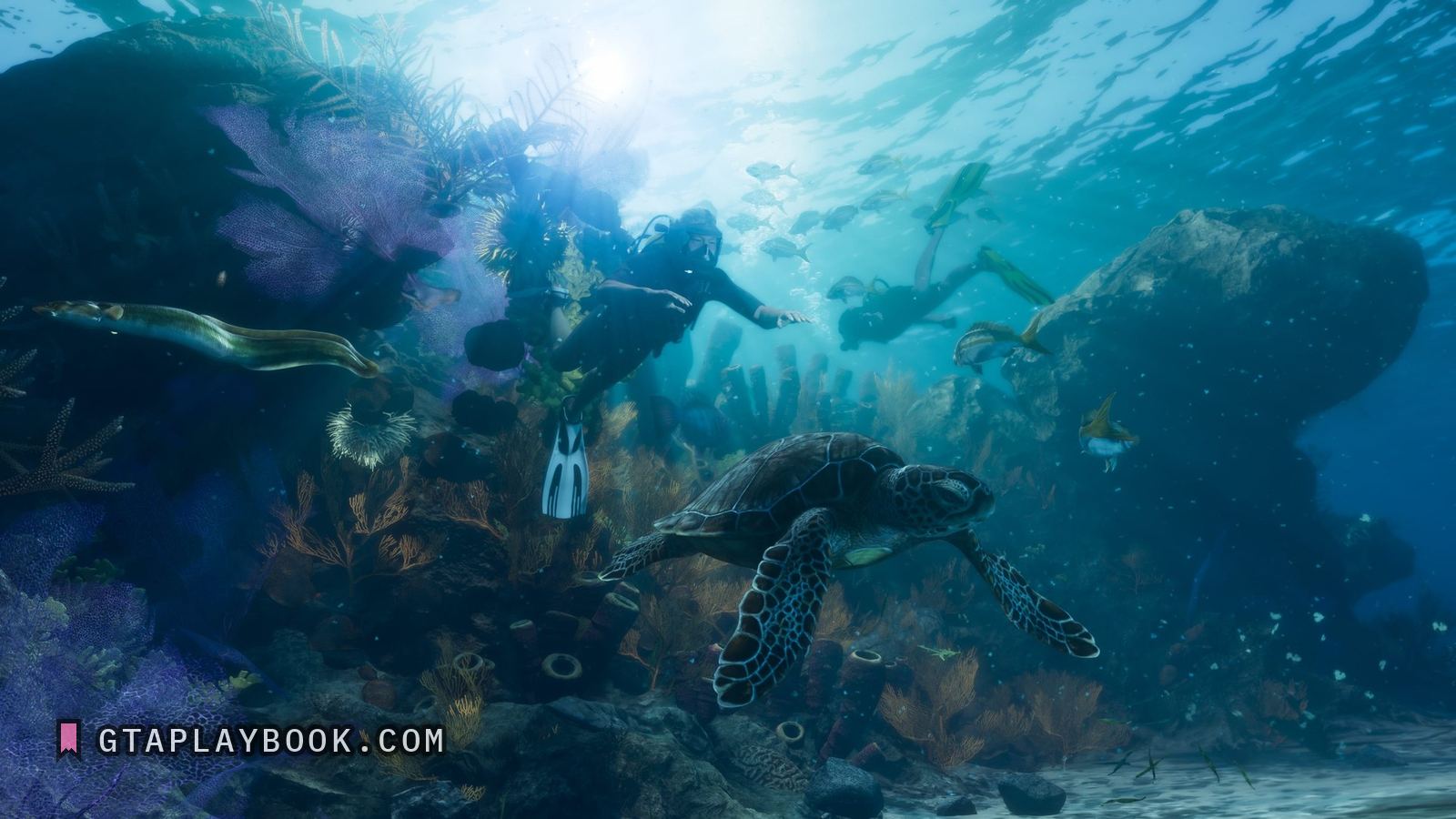
A line of encrusted upright pilings standing on the sea bed beside the reef: the remains of a pier, not a rock formation.
They are roughly cylindrical posts, standing in a line and uneven in height, with coral and sponge growing over them. That is what an old dock or pier leaves behind. Until 20 September 2026 this page called them regular, evenly spaced stone columns; on the original frame they are neither regular in height nor stone. They stand close together in a rough line, and the growth on them is the same orange as the sea fans in the foreground; small fish hang between them, and nothing in the crop gives their height against a diver, because no diver is beside them.
A diver in scuba gear swims across the top of the frame with a second figure behind, a green sea turtle passes through the foreground, and a large barred fish, smaller fish and orange sea fans fill the rest. The depth is not measurable from the image, so the fifteen metres this page used to give has gone.
Whether it is a pier, a jetty or something sunk on purpose, the image does not say. What it does say is that somebody modelled an underwater point of interest rather than a flat sand bottom, which is a signal about how much of the water is meant to be explored. The divers have a page of their own under scuba diving.
How to recognise it
- A line of upright pilings, uneven in height
- Coral and sponge growing over them
- Divers above and a green sea turtle in the foreground
- Beside the reef in the Leonida Keys dive screenshot
The frame it comes from
The frame is a still from the official Press pack, which carries no timecode. It is 3840 by 2160, and the subject occupies 1075 by 648 of it. Also in it: the Leonida Keys.
How this was measured
| Source | Press pack |
|---|---|
| Frame | 3840 × 2160 |
| Crop | 1075 × 648 — a small part of the frame |
| Image check | 23 September 2026 — crop checked against the frame |
| Text check | 23 September 2026 — 16 claims read against the image, 2 corrected |
| Read at | the true pixel grid, 1:1 |
These figures come from the dataset, not from the prose above. We measure everything and claim what counts. How we work
What we still do not know
- What the structure is
- Whether it can be entered
- Whether there is anything to find there
- How much of the sea bed is modelled like this
Also in these frames
Measured in the same frames as the images above, but without a page of their own. Same rule as everywhere else: what the crop carries, with the source and the timecode. The ones whose frame no page shows are collected in the frame.
More locations from the footage
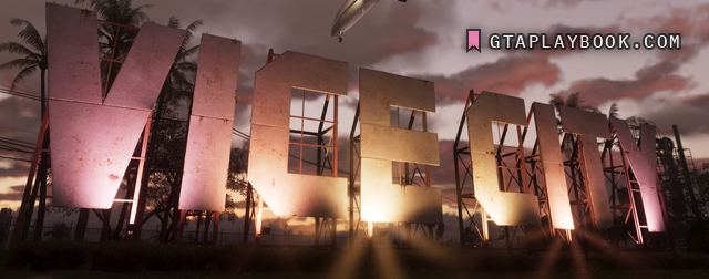
Press pack · snt-00066 · usable frame
The Vice City sign
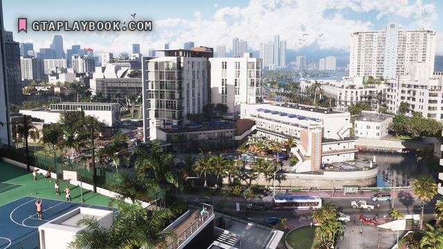
Press pack · snt-00059 · usable frame
Vice City
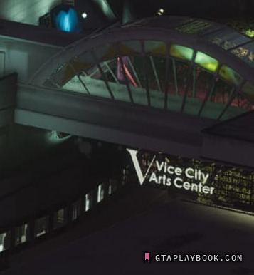
Press pack · snt-00122 · placeholder frame
Vice City Arts Center

Press pack · snt-00117 · usable frame
Vicebeach Police
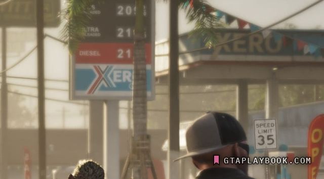
Press pack · snt-00134 · placeholder frame
Xero

Trailer 1 · snt-00045 · 0:58.55 · usable frame
Hamlet